Innovating Defense and Aviation: Alkor's Commitment to Security Solutions
Alkor Defense Aviation Security exemplifies innovation through technological excellence and ethical practices. As global threats evolve, Alkor remains dedicated to pioneering solutions that protect nations and empower industries, setting new standards in the defense, aviation, and security sectors for a safer future.


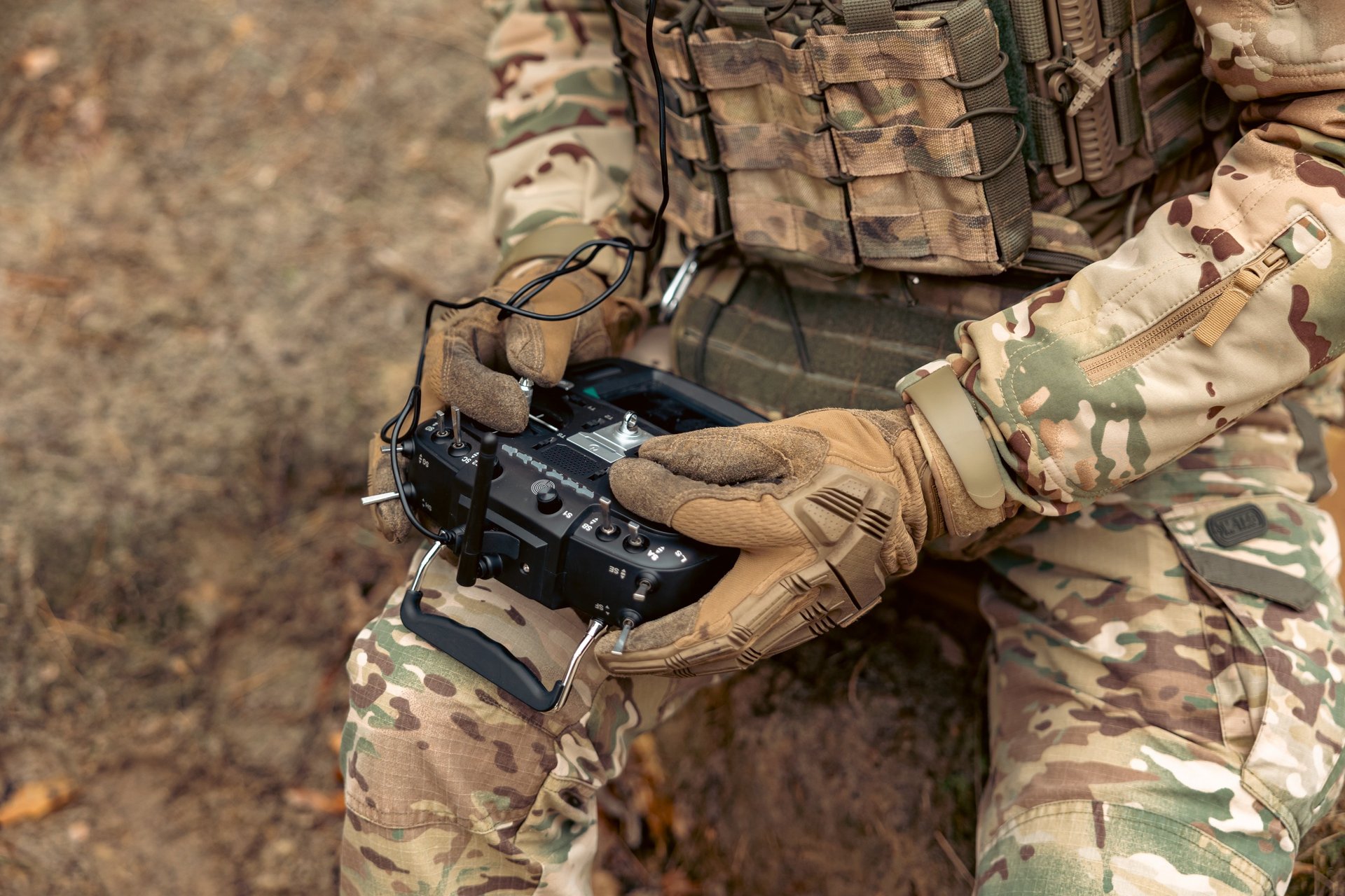
The Autonomous Drone System Changing Demining Forever
Landmines remain a deadly legacy of past conflicts, posing severe risks to civilians and hindering land use long after wars have ended. Traditional demining methods are slow, costly, and dangerous, relying on manual detectors or trained animals, with deminers clearing only about 150 m² per day at a cost of $300–$1,000 per mine —and at great human risk (three casualties per 5,000 cleared mines).
To address this humanitarian challenge, this invention introduces an autonomous, multirotor drone system that integrates detection, localization, marking, and optional neutralization of landmines— without direct human intervention . Unlike fragmented existing approaches, this solution combines:
- Multi-sensor fusion (magnetometers, ground-penetrating radar, thermal imaging) to detect both metallic and non-metallic mines.
- AI-powered real-time analysis for high-confidence threat identification.
- Precise physical marking (spray paint or flags) and digital GIS mapping for demining teams.
- Optional remote neutralization via explosive charges or robotic disarmament.
Key advantages include enhanced safety (no human presence in minefields), faster clearance rates, and adaptability to diverse terrains . By unifying these capabilities in a single platform, the system significantly improves demining efficiency while reducing costs and casualties.
Key Features for Further Expansion (if required):
1. Drone Platform: High-precision GPS (RTK), modular payload capacity, collision avoidance.
2. Sensor Fusion: Magnetometer (metals), GPR (plastics/ceramics), thermal camera (burial traces).
3. AI Module: Machine learning to filter false positives and classify mine types.
4. Marking/Neutralization: Paint spray, beacon drops, or controlled detonation.
5. GIS Integration: Real-time mapping for post-mission analysis.
This system represents a paradigm shift in humanitarian demining , merging robotics, AI, and remote sensing to save lives and restore land.
Strategic Advantage
Integrated Ecosystems: Interoperable solutions across defense, aviation, and security.
Global Partnerships: Direct access to advanced technologies worldwide.
Localized Expertise: Regional presence and 24/7 support for clients.
Future-Ready: Scalable systems designed to counter emerging threats.
© 2025. All rights reserved.
Regional support teams providing 24/7 operational coverage.
------------------------------
Localized Expertise
Want to contact?
contact@alkor-das.com
ALKOR is a one-stop-shop solutions provider in defense, aviation, and security. We combine global technology partnerships with regional expertise to deliver integrated ecosystems.
Our mission is to empower nations and industries with resilient, future-proof solutions.